- (360) 426-2990
- holman@hctc.com
- 2281 E. Brockdale Rd., Shelton, WA 98584
What We Do
Professional Land Surveying & Property Solutions in Mason County
At Holman and Associates Land Surveyors, we provide expert land surveying, boundary adjustments, elevation certifications, and property consulting services to homeowners, developers, and businesses throughout Mason County. With over 45 years of experience, we have the knowledge and expertise to guide you through the surveying process efficiently and accurately.
Boundary & Property Line Services
Below is a detailed overview of the services we offer:
Statutory Boundary Line Agreements (Preferred Method)
A Statutory Boundary Line Agreement (SBLA) is a legal process where two property owners mutually agree to adjust a property line to resolve encroachment issues or clarify boundaries.
- Requires a lawyer to facilitate the agreement
- A Subdivision Guarantee (separate fee) is needed
- County charges a reworking fee
- Reduces potential disputes and ensures clear property ownership
We can help you through this process, working with your attorney to ensure a smooth and legally sound boundary adjustment.
Boundary Line Adjustments
If you need to modify a property boundary, a Boundary Line Adjustment (BLA) must be approved by the county and follow strict legal and zoning regulations.
- County approval is required
- Strict guidelines must be followed
- Additional county fees apply
Boundary adjustments are useful for resolving property disputes, increasing land usability, or correcting legal descriptions. We will help you navigate the process from start to finish.
Subdivision & Development Surveys
Subdivisions & Short Plats
If you want to create new parcels of land, you will need to go through a short plat or large lot subdivision process, which must be approved by the county.
- Requires an initial pre-submission meeting
- County will identify potential conflicts
- Approval can take 6-18 months, depending on the complexity of the project
We will assist you throughout the entire subdivision process, from initial planning to final approval.
Note: Some plats may have homeowner associations or maintenance companies that requires additional steps for approval.
Comprehensive Land Surveying Services
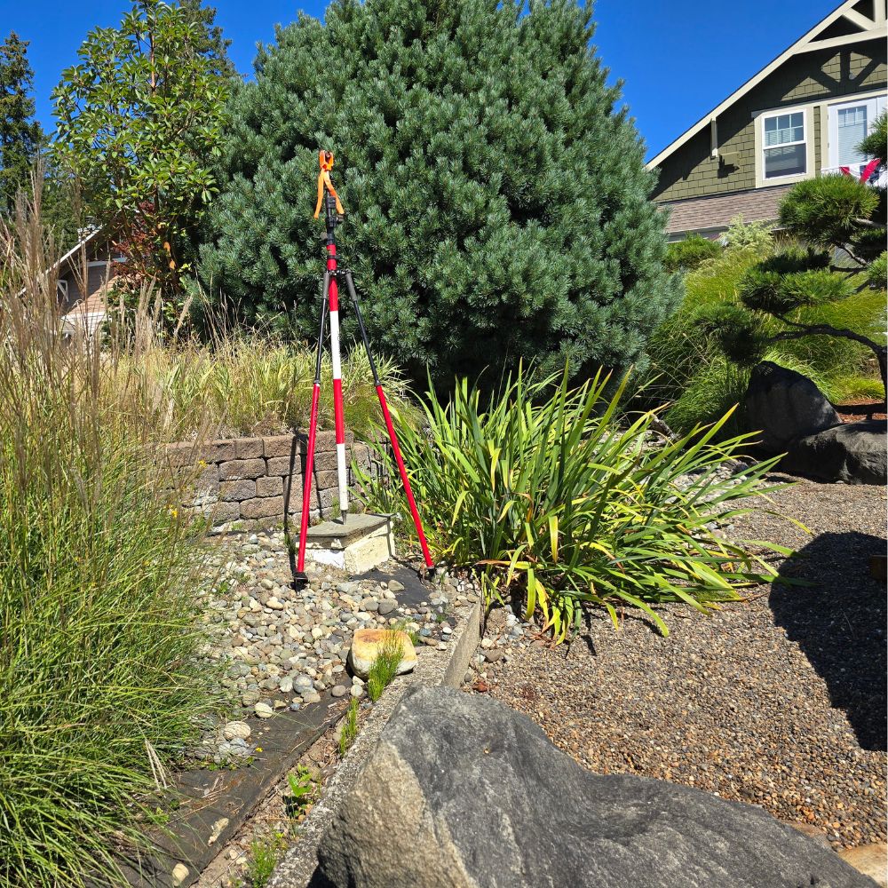
Boundary Surveys
Boundary surveys establish or re-establish property lines, identifying corner monuments and line points on the ground.
- Essential for new construction, fencing, and property disputes
- Helps determine setbacks and avoid legal issues
- Ensures your project stays within property limits
Knowing your exact boundary lines before starting a project can prevent costly mistakes and legal complications.
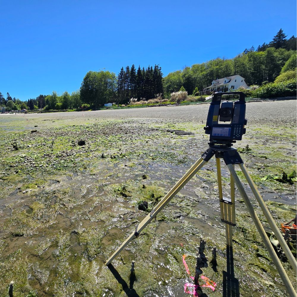
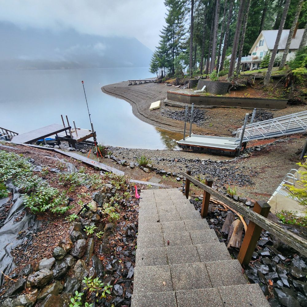
Elevation Certificates & Flood Zone Mapping
With recent flood studies indicating a rise in coastal waters, the county requires new construction to be built at least one foot above the base flood elevation—though we recommend two to three feet for added safety.
- Required for flood insurance and building permits
- Helps determine safe construction elevation
- Can reduce flood insurance costs
If you are in a flood-prone area, we can help assess your risk and provide necessary elevation documentation.
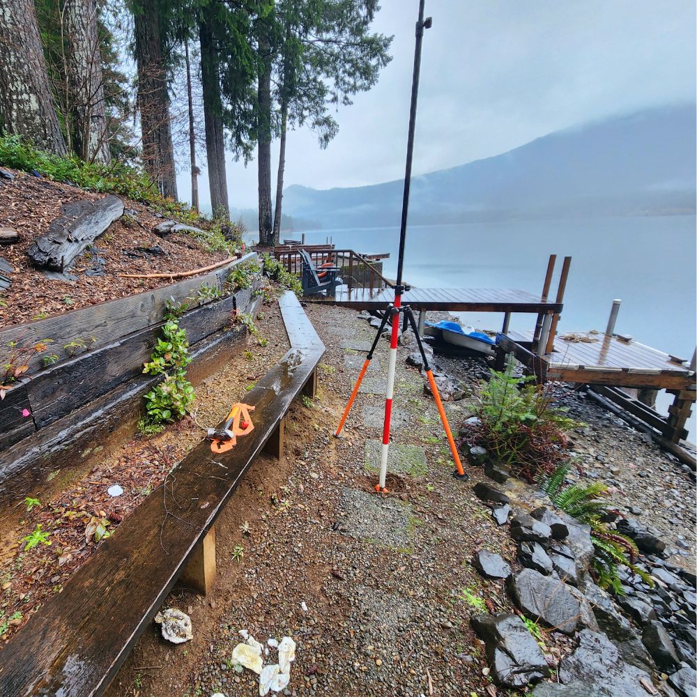
Topographic Surveys & Site Plans
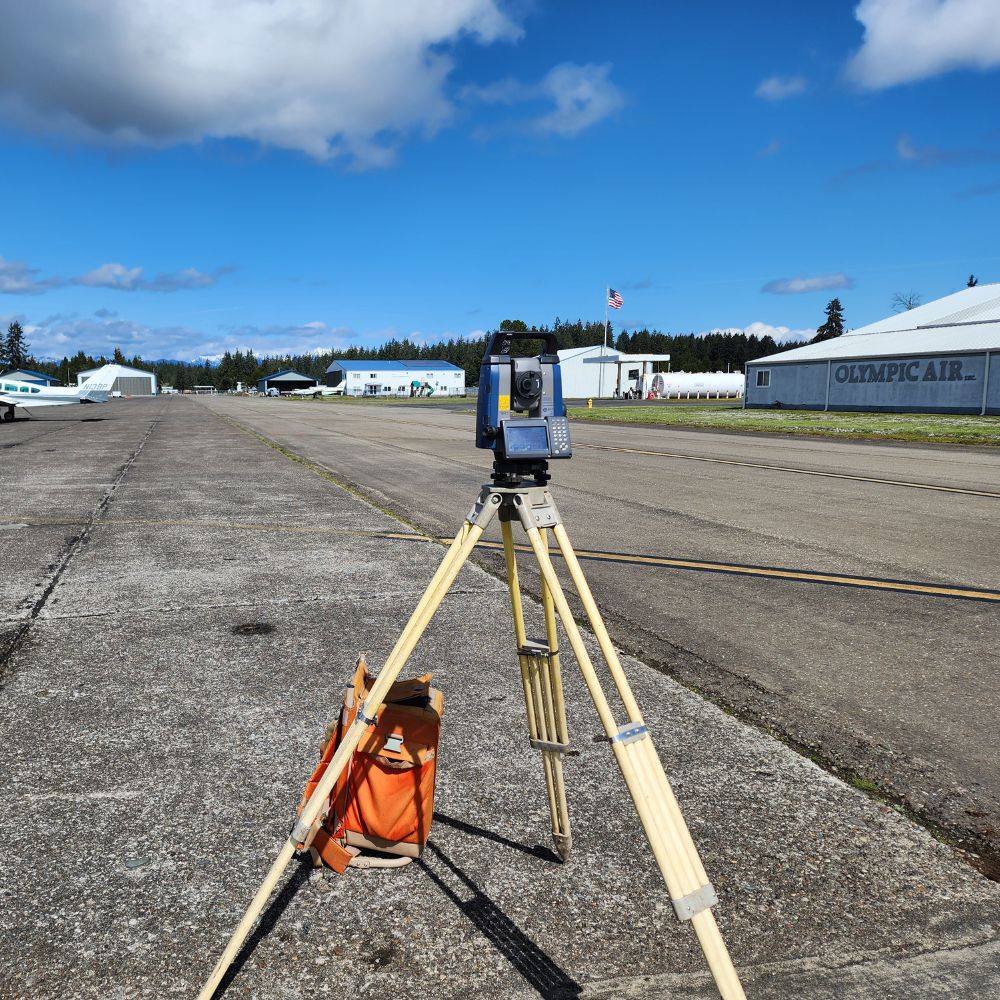
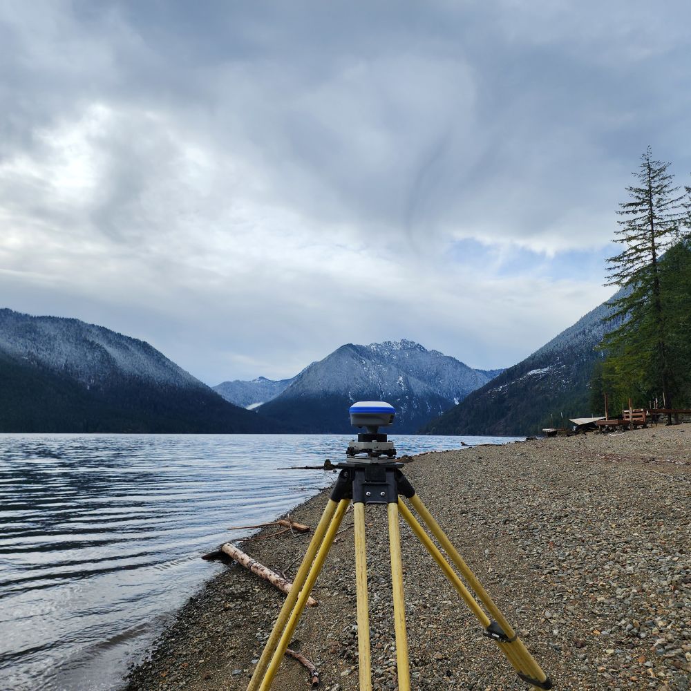
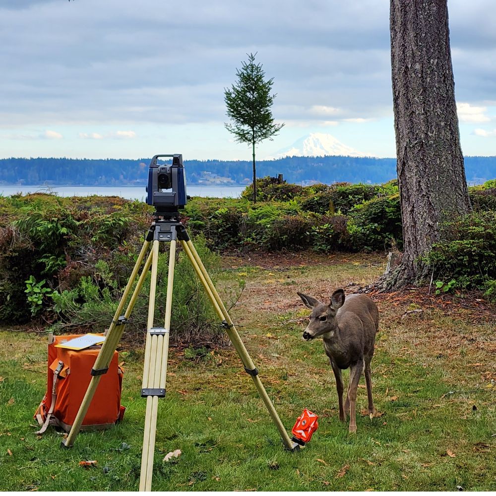
We use state-of-the-art robotic total stations to collect precise data on your land.
- Captures detailed terrain features, buildings, and site characteristics
- Produces highly accurate 2D drawings
- Data can be provided in PDF, CAD (DWG), or printed copies
These surveys are essential for development planning, engineering, and construction projects.
Letter of Map Amendment (LOMA)
FEMA flood studies often generalize large areas, placing properties in flood zones that may not actually be at risk. If your property is above the base flood elevation, you may qualify for a LOMA to remove your land from a designated flood zone.
- Can reduce flood insurance requirements
- Provides proof that your land is not at risk
- Helps with property value and resale potential
We can assess your property and guide you through the LOMA application process.
Consulting & Expert Guidance
With over 45 years of experience working with property owners, developers, and legal professionals, we provide expert consulting for:
- Property planning & development
- Survey execution & completion
- County approval processes
We have built strong connections with county officials, real estate professionals, and other surveyors, ensuring that your project moves forward as smoothly as possible.
Certified Federal Surveys
For Certified Federal Surveys, please contact:
A Line Land Surveying – (360) 570-0051
Email: alinelandsurveying@gmail.com
Ready to Get Started? Contact Us Today!
Our team is here to help with all your surveying, mapping, and boundary adjustment needs.
📧Email: holman@hctc.com
(Preferred Method of Contact)
📞 Phone: (360) 426-2990 (Monday – Friday, 8 AM – 4 PM)
📍 Office Address: 2281 E. Brockdale Rd., Shelton, WA 98584